Geographic and Opportunistic Routing for Underwater Sensor Networks
₹3,500.00
10000 in stock
SupportDescription
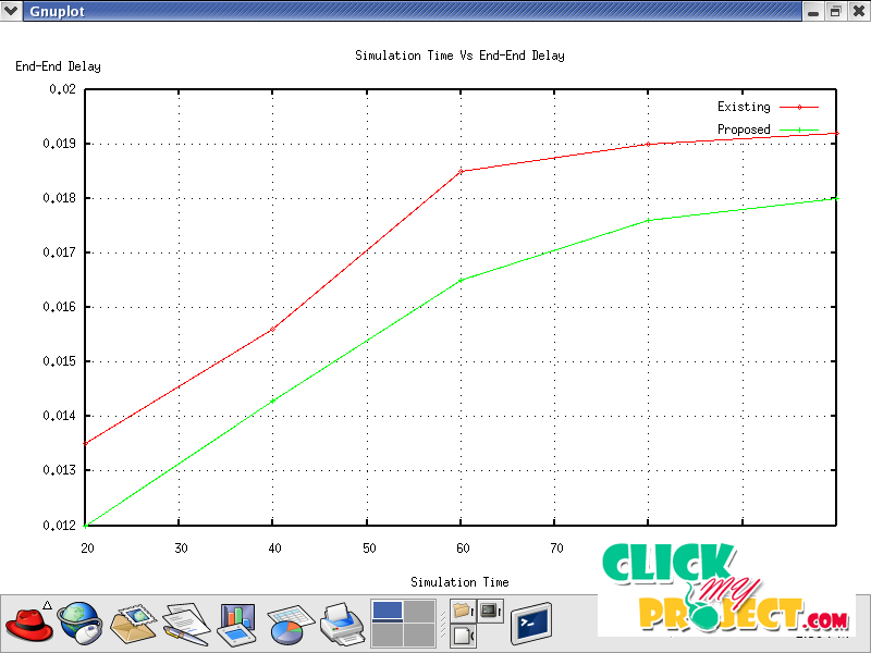
Geographical routing protocols have several desirable features for use in ad hoc and sensor networks but are susceptible to voids and localization errors. Virtual coordinate systems are an alternative solution to geographically based routing protocols that works by overlaying a coordinate system on the sensors relative to well-chosen reference points. VC is resilient to localization errors; however, we show that it is vulnerable to different forms of the void problem and have no viable complementary approach to overcome them. Since the sensor node’s distribution in a wireless sensor network (WSN) is irregular, geographic routing protocols using the greedy algorithm can cause local minima problem. This problem may fail due to routing voids and lead to failure of data transmission. In this paper, we propose the GEDAR routing protocol for UWSNs. GEDAR is a any-cast, geographic and opportunistic routing protocol that routes data packets from sensor nodes to multiple sonobuoys (sinks) at the sea’s surface. When the node is in a communication void region, GEDAR switches to the recovery mode procedure which is based on topology control through the depth adjustment of the void nodes, instead of the traditional approaches using control messages to discover and maintain routing paths along void regions. Simulation results show that GEDAR significantly improves the network performance when compared with the baseline solutions, even in hard and difficult mobile scenarios of very sparse and very dense networks and for high network traffic loads.


