AN ONTOLOGY-ENABLED FRAMEWORK FOR A GEOSPATIAL PROBLEM-SOLVING ENVIRONMENT
₹4,500.00
10000 in stock
SupportDescription
Abstract:
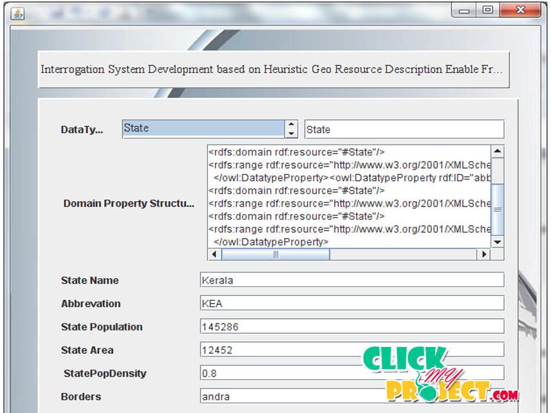
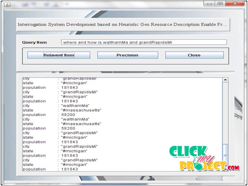
Ontology’s use standard machine-readable languages to explicitly define the formal semantics of concepts and their relationships in a domain. Resource Description framework for interrogation system will require the domain expert knowledge and data owner authentication as well as the appropriate ontology prediction. For Spatial Data Ontology based information retrieval will be complex due to the nature of ontology. So we propose the new mechanism for the ontology frame work for geo-spatial data’s. For this one we user the resource description Framework (RDF) ontology for accessing the geo spatial data. Complexity of RDF access we apply the N-Triple algorithm for Convert the rdf data’s in to the subject, Object, Predicates. This will improve the accuracy of the Information retrieval from the both domain expert and the data owners based on flexible query from user.


