A framework for processing large scale geospatial and remote sensing data in Map Reduce environment
₹4,500.00
10000 in stock
SupportDescription
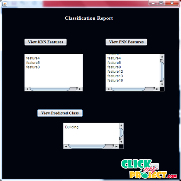
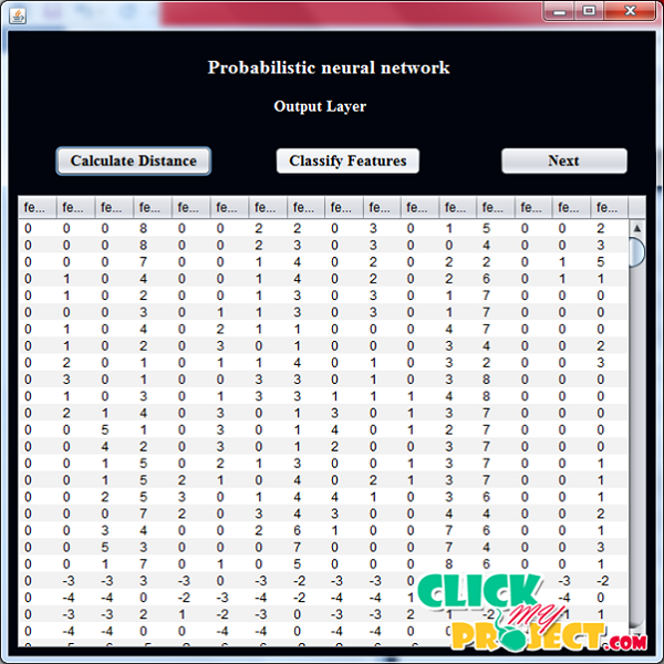
Every day a large number of Earth observation (E O) space borne and airborne sensors from many different countries provide a massive amount of remotely sensed data. Those data are used for different applications, such as natural hazard monitoring, global climate change, urban planning, etc. The applications are data driven and mostly interdisciplinary. Based on this it can truly be stated that we are now living in the age of big remote sensing data. Furthermore, these da ta are becoming an economic asset and a new important re source in many application s. In this process, load Remote sensing satellite image into the MATLAB and Extract the features of image pixel. Construct a cluster in an image and Store each cluster values in a data file. Load the image data into the java code and Store in HDFS in Hadoop for take Mapping and reduce the data. Take a testing image values and analyze the image data. Use KNN algorithm to find the nearest image data from the training data of testing data. Finally predict the testing data class like (Land, water, Trees, etc…)


